
Lab home
Round-by-round research notebook
The landing page explains the experiment, shows evidence, and keeps the research legible instead of hiding it in scripts.
Visual field guide · 34 screenshots
One research system, two real-time engines, and one hard rule: the scene has to survive an impartial visual judge, not just look good from a hero camera.
The shared objective is not “generate a nice 3D scene.” It is to rebuild a photoreal source image in a real-time renderer and have an impartial judge score the match. ForgeScene uses construction-site photographs and a Match Score rubric. Forge Valley uses a natural-environment rubric, four camera views, and the weakest navigable view as the real score.
If the reconstruction breaks when the camera moves, it is not a real scene. That rule is why alternate views, orbit shots, fly-throughs, and the weakest-view score matter so much.
ForgeScene is already more than a renderer. The production surface exposes the experiment history, render gallery, interactive arena, semantic segmentation, hypotheses, progress, and the Unity build proof. Click any screenshot to open its full-page capture.
The landing page explains the experiment, shows evidence, and keeps the research legible instead of hiding it in scripts.
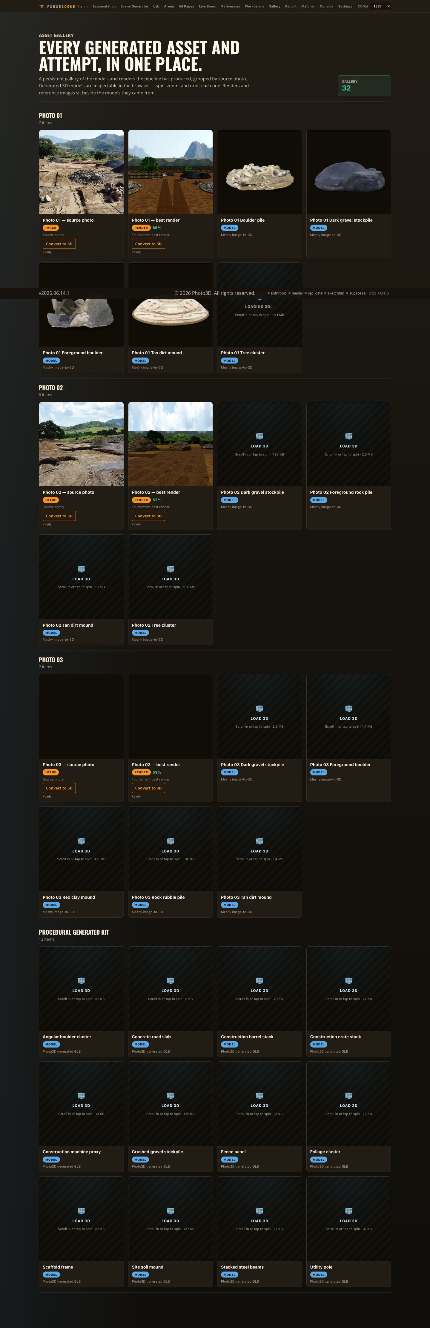
A visual catalog of scene attempts, source photos, and generated evidence.
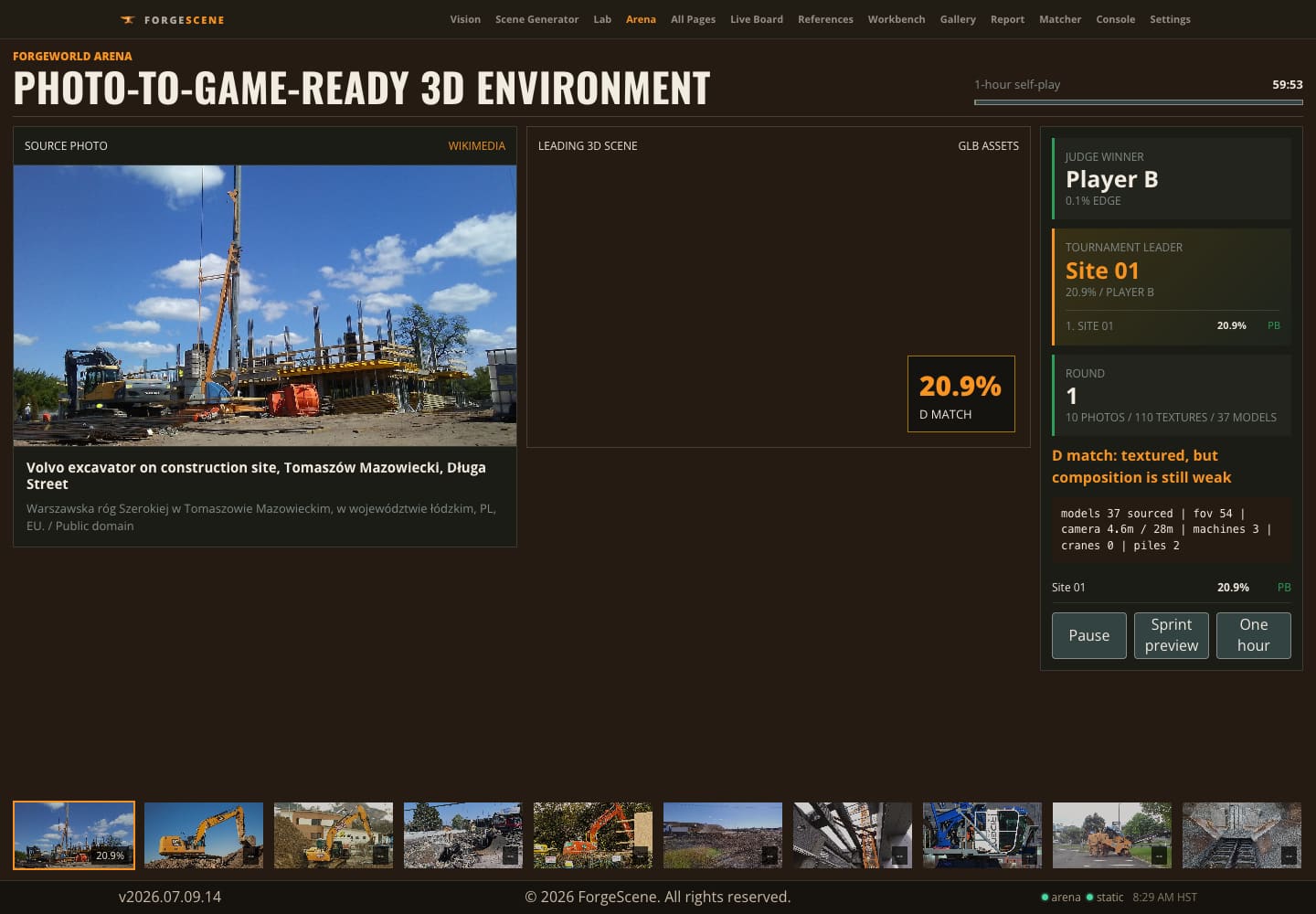
The browser surface is where a scene proves it can be explored, not merely screenshotted.
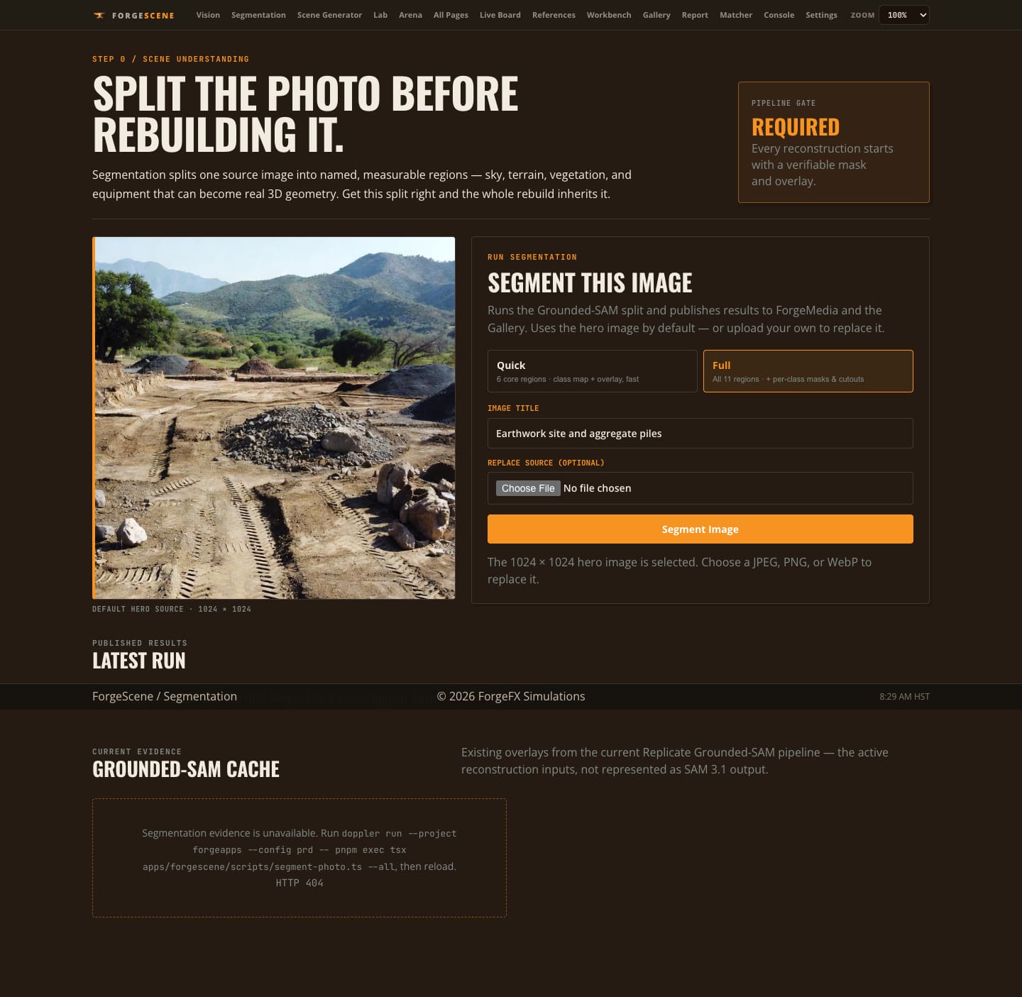
The source image is broken into meaningful regions such as earth, rock, tree, sky, snow, and water.

Promising ideas and failed approaches remain visible so the system does not repeatedly pay for the same lesson.
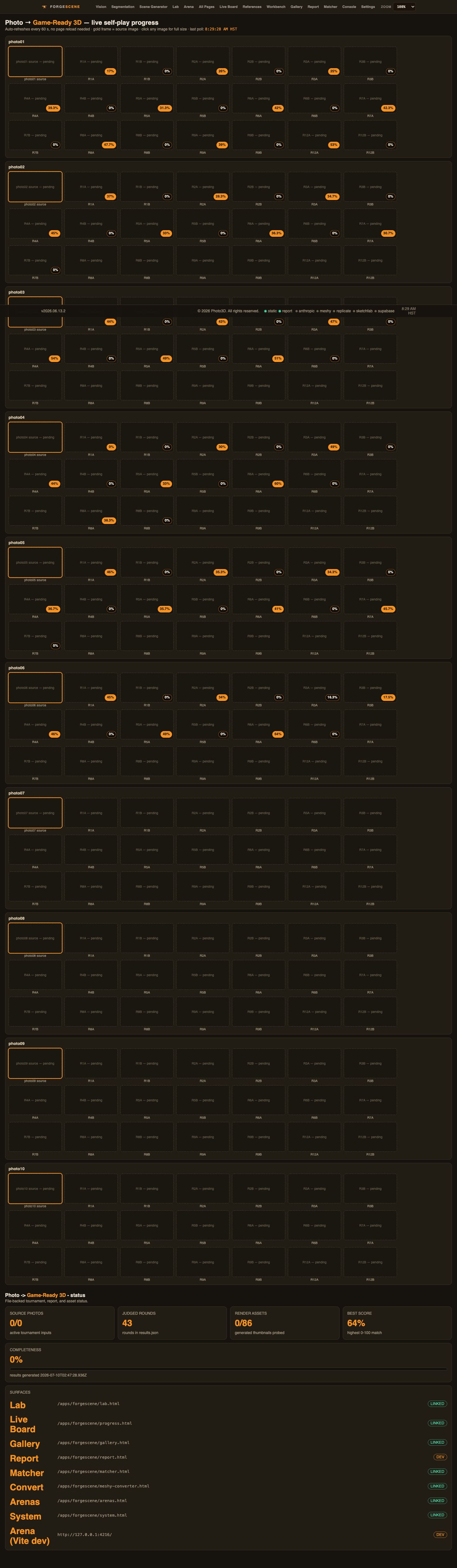
Tracks the source set, generated assets, match activity, and judge-scale context.

Long-form evidence turns a black-box generation loop into a reviewable research record.
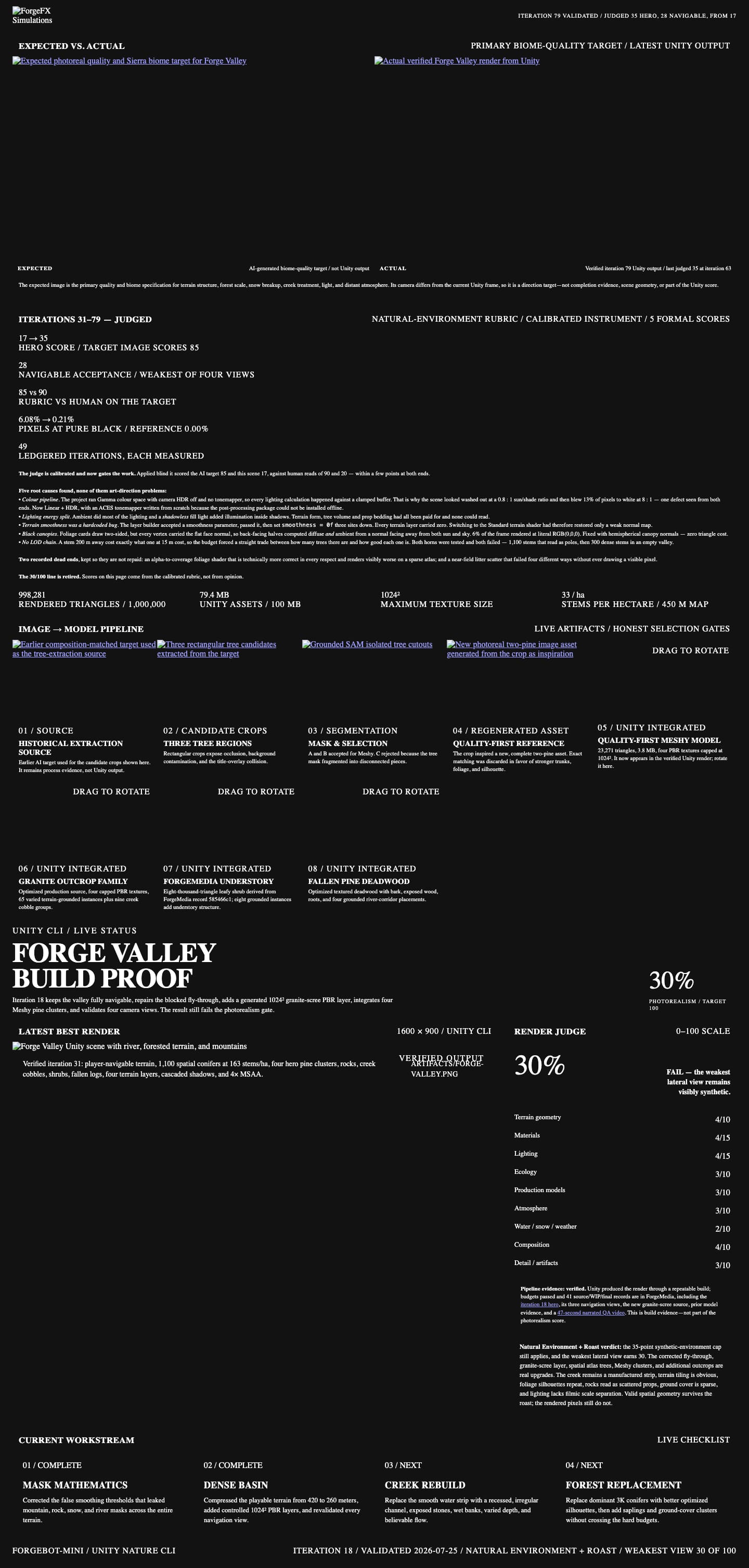
The page documents the Unity output and review evidence, but its iteration copy is stale and is not the current score authority.
Each source photo becomes a “genome”: camera, environment, textures, and placed objects. The renderer captures alternate views. The judge compares them against the source on composition, inventory, lighting, texture realism, and depth. The orchestrator keeps what scores and rejects what does not.
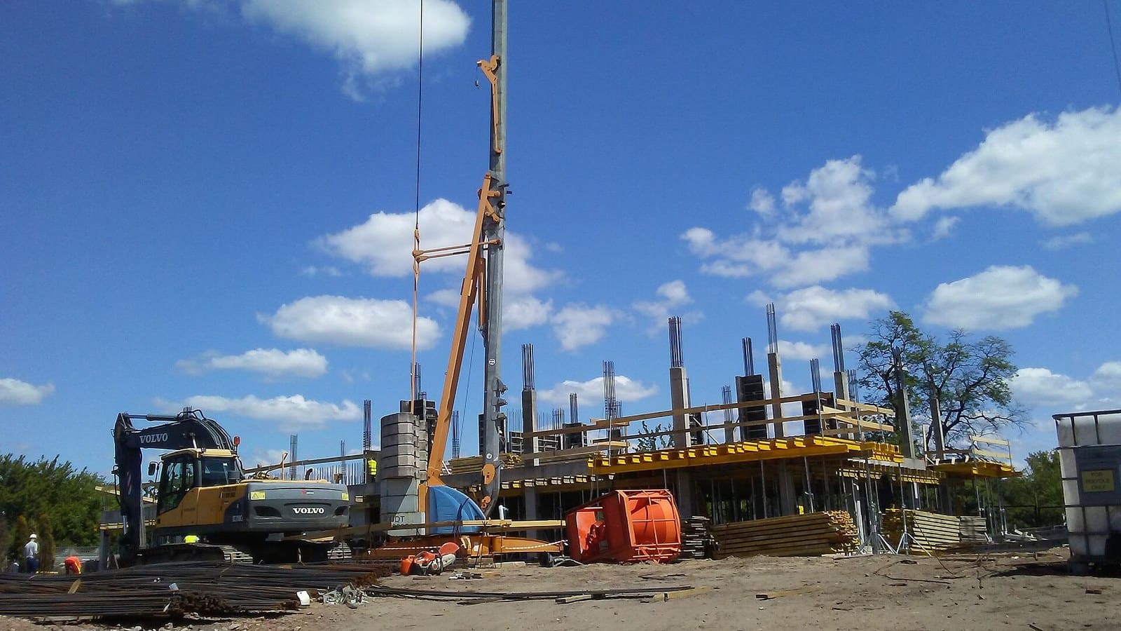
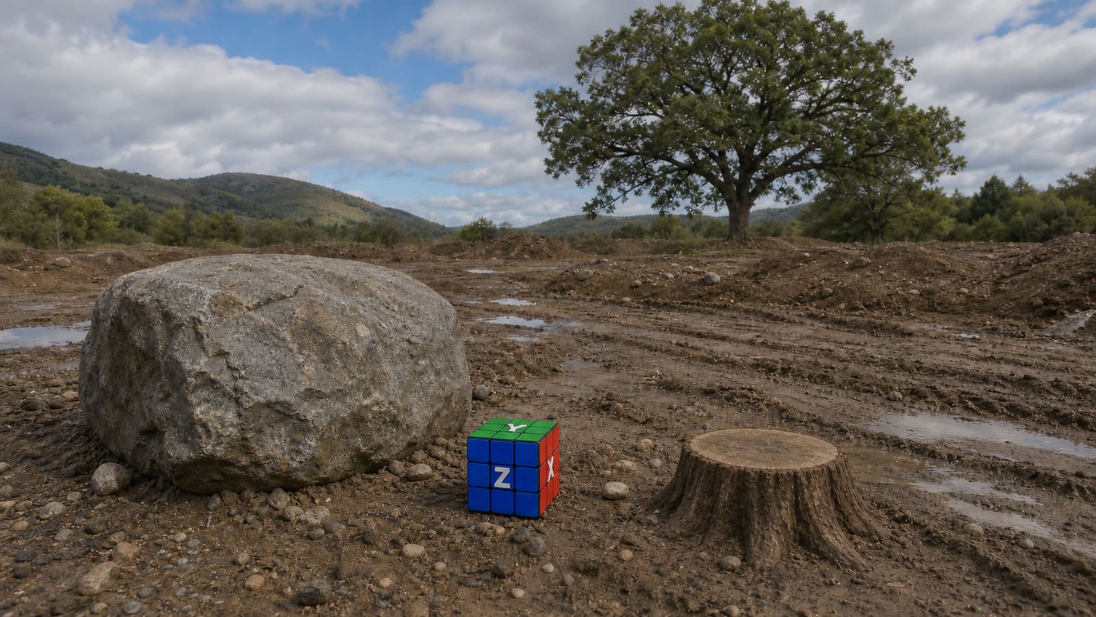
Closest to the source composition. Necessary, but never sufficient.
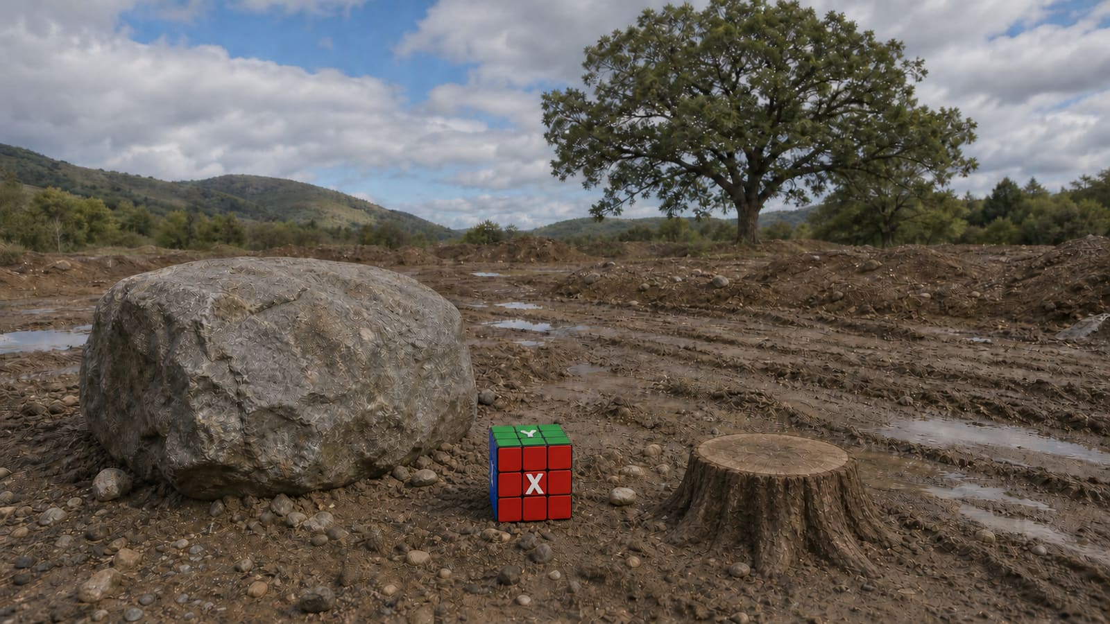
Tests object count, parallax, projection seams, and whether the world survives rotation.
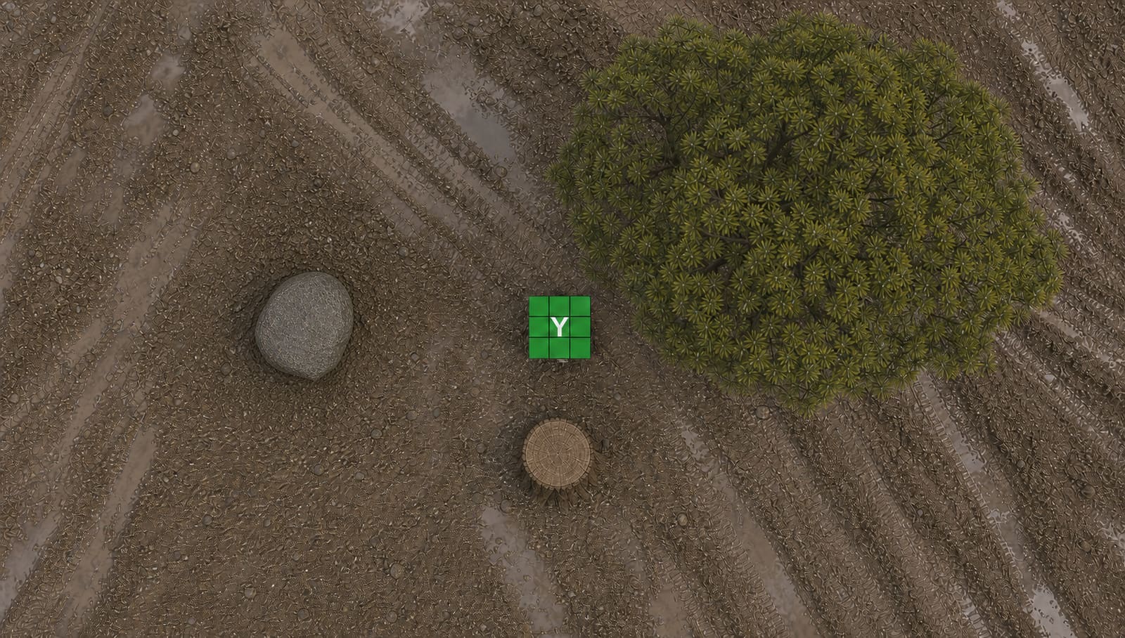
Exposes flat cards, repeated textures, floating geometry, and fake depth immediately.
Semantic segmentation converts one flat image into a working inventory. Regions become masks, cutouts, texture candidates, depth hints, and scene-placement evidence.
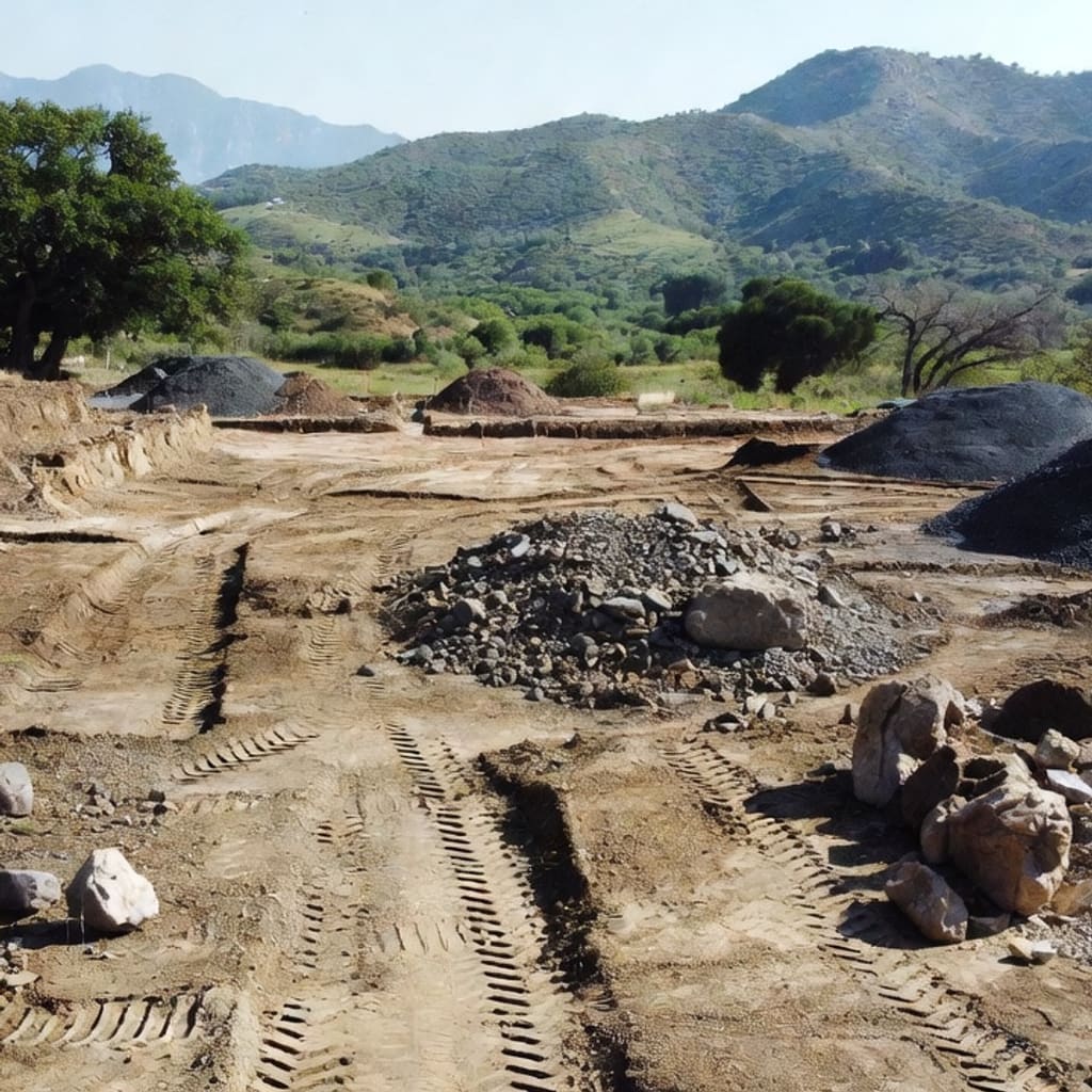
The untouched image.
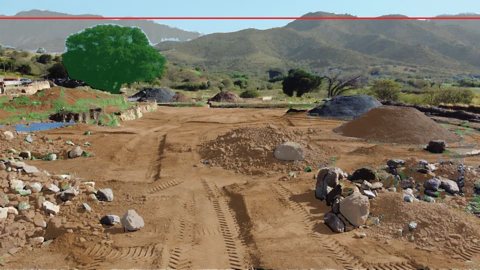
Class boundaries reveal the scene inventory.
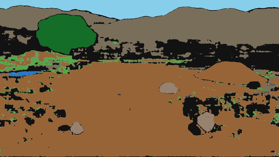
The structured map feeds downstream reconstruction work.
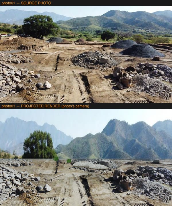
A useful experiment, but edge stretching and non-parallax backdrops remain visible failure modes.
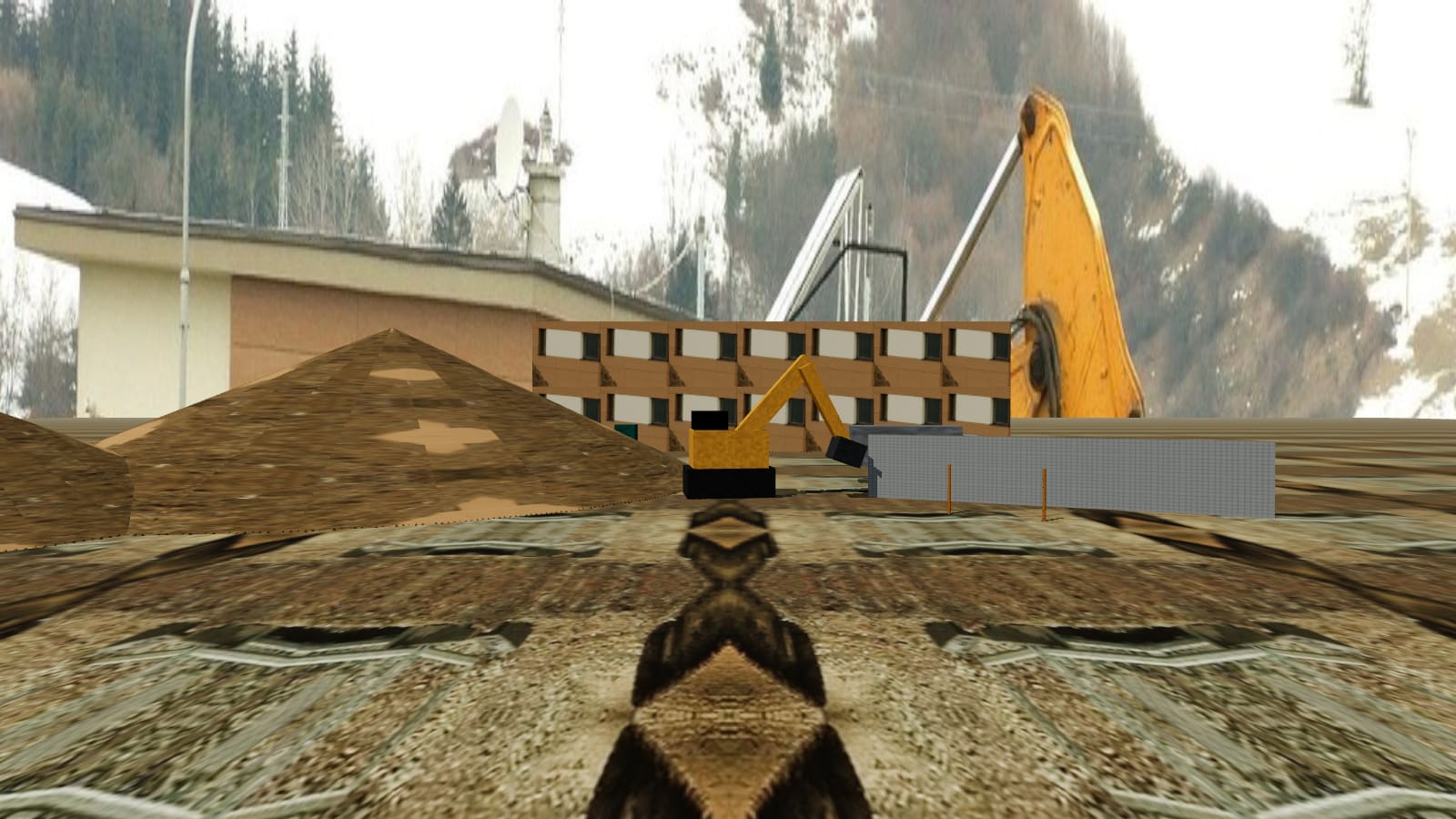
Another reconstruction path used to test whether different geometry and texture strategies score better.
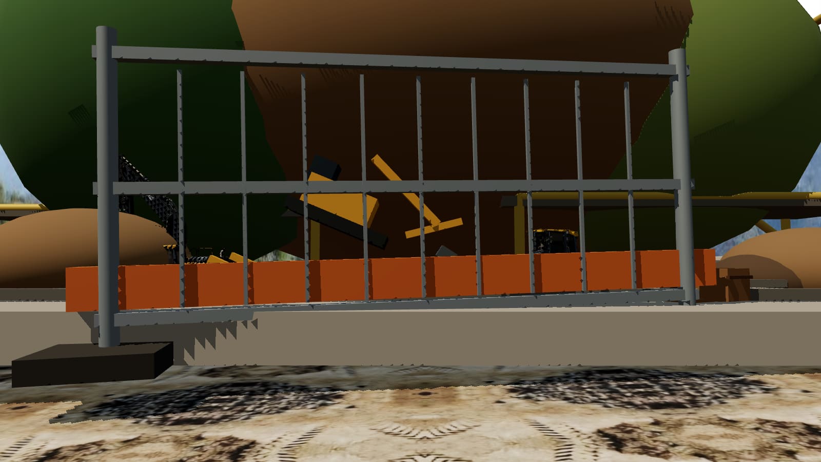

A Unity 6 High Sierra landscape assembled entirely through code, rendered headless, and validated before the command succeeds. The build includes terrain, erosion, creek, terrain layers, vegetation, production models, sky, atmosphere, lighting, camera framing, four captures, and hard budget checks.
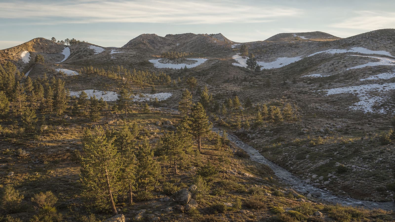
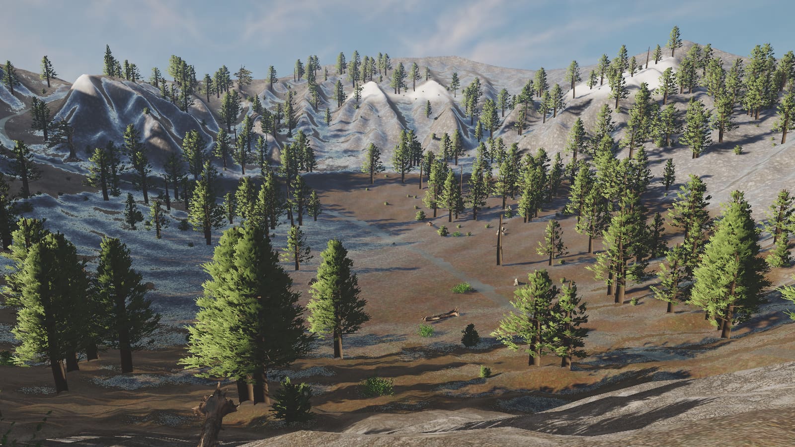
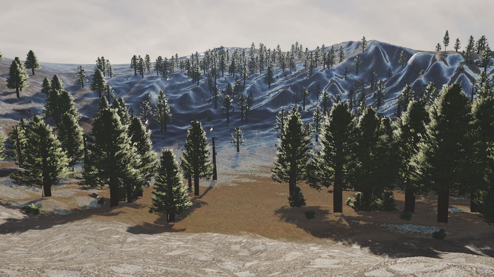
The historic weak view. It reveals silhouette repetition, terrain tiling, and shallow atmosphere.
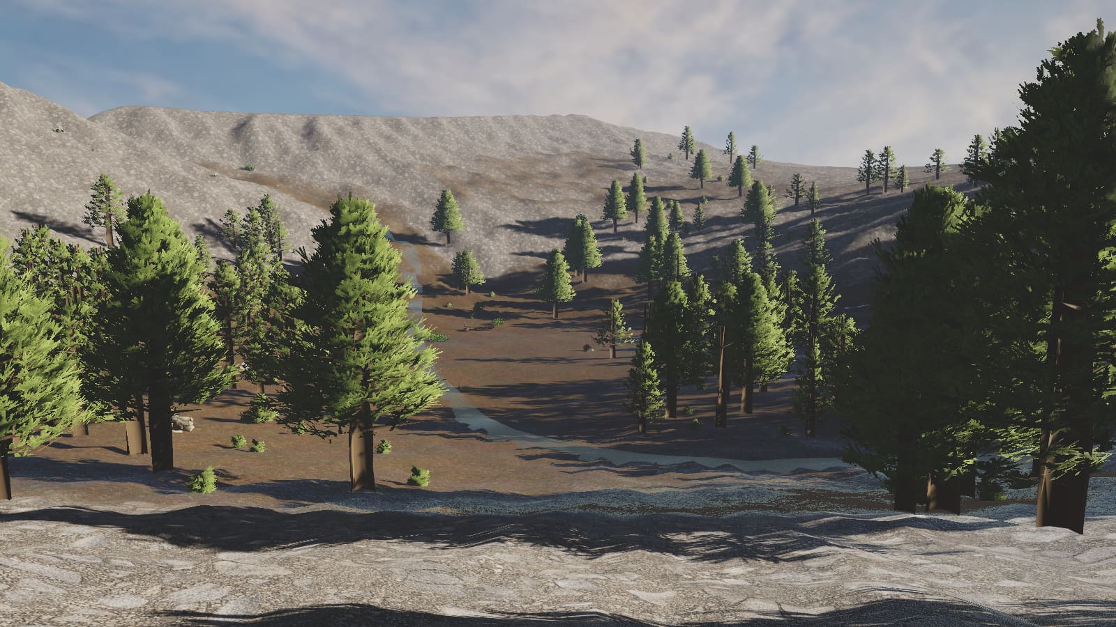
Tests whether the ecology, creek, and depth work from the other side of the valley.
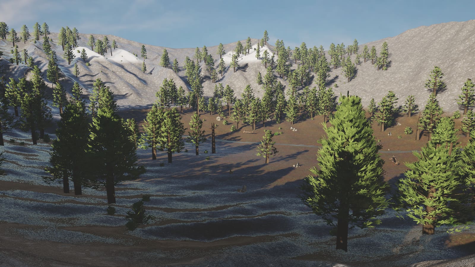
Exposes foreground material scale, shadow crush, water width, and sparse detail.
The landscape is procedural, but the visual investigation still uses authored/scanned assets, generated source images, cutout studies, and model conversion. These tests are evidence about silhouette, coverage, tiling, and whether assets survive multiple viewpoints.
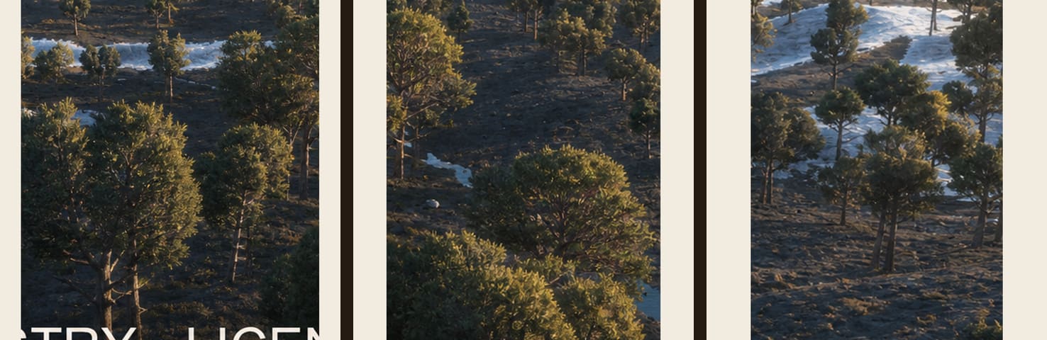
Candidate imagery for replacing repetitive single-family vegetation.
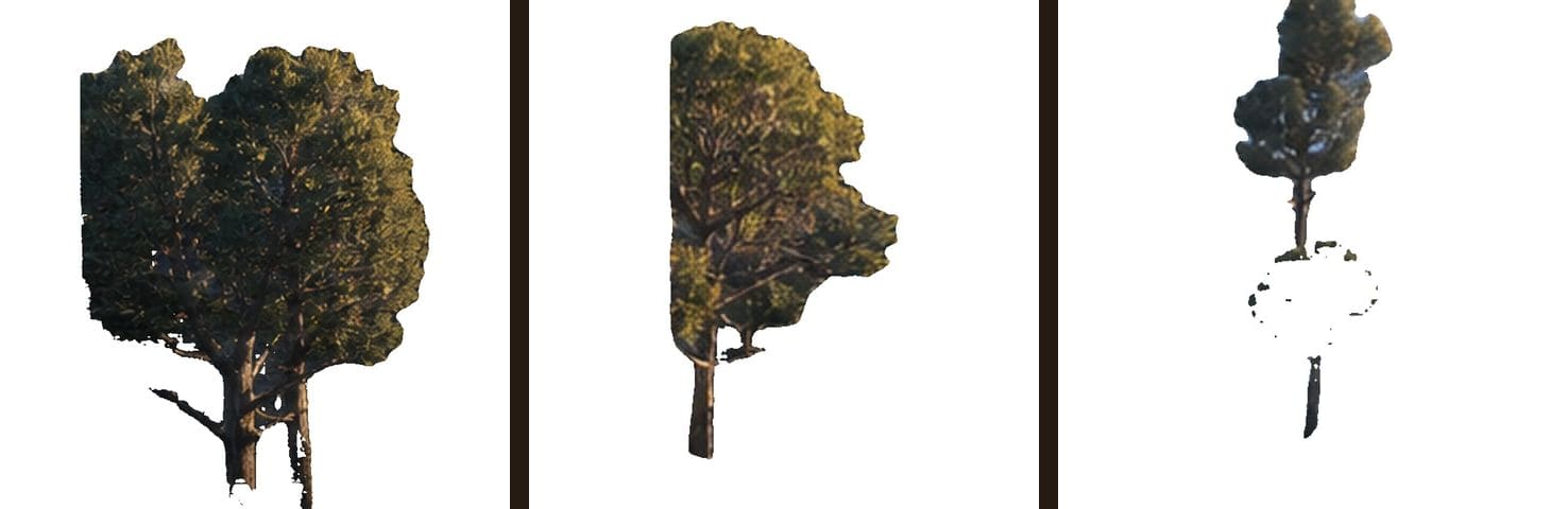
Tests whether branches and needles retain enough canopy mass after isolation.
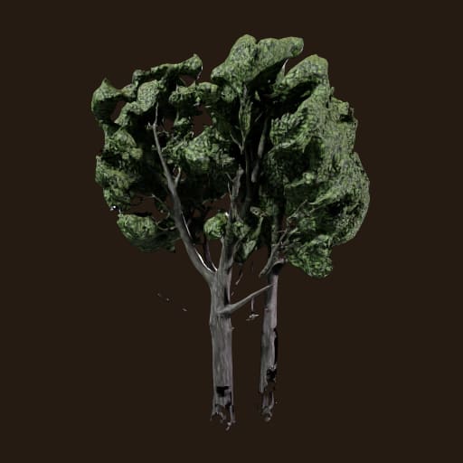
Model evidence for high-value near-camera vegetation.
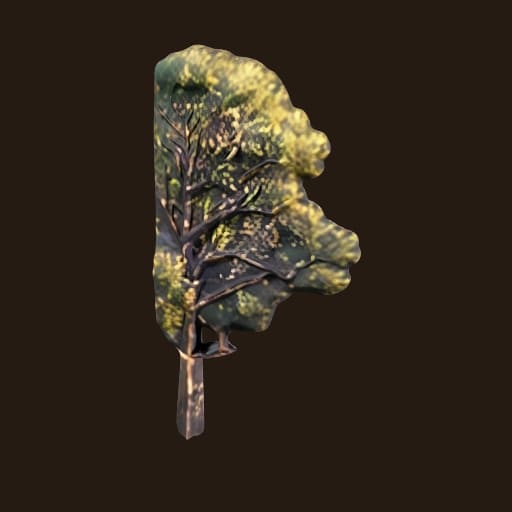
A silhouette family intended to break the monoculture.
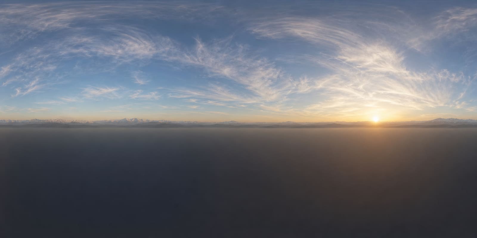
The environment map used to establish Sierra scale and distant depth.
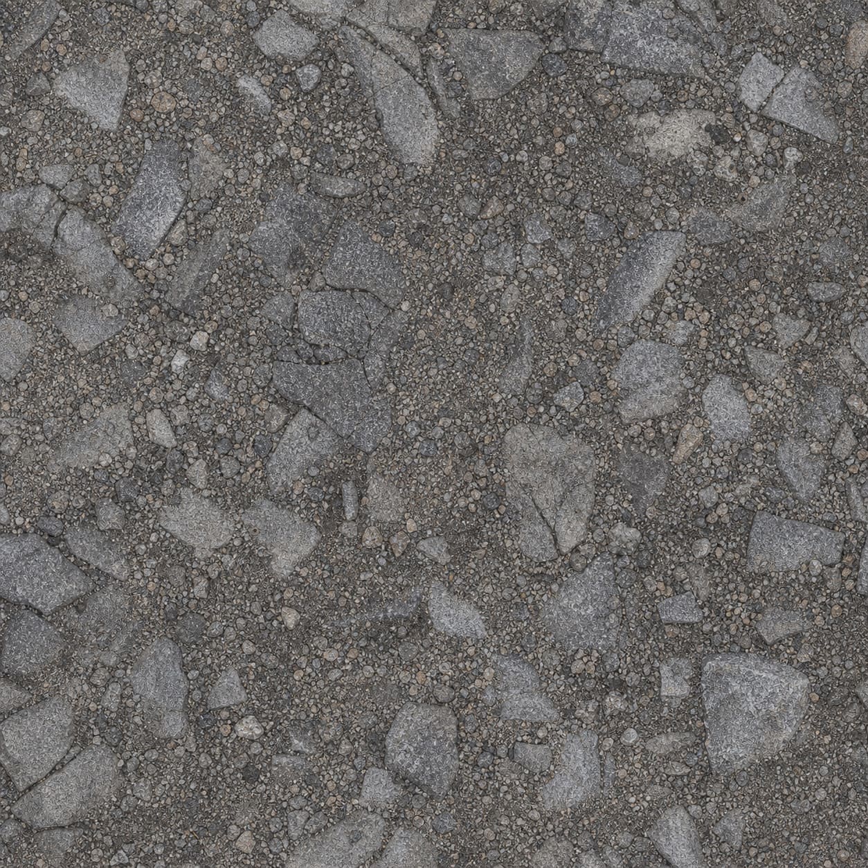
Generated source imagery feeding a PBR terrain layer.
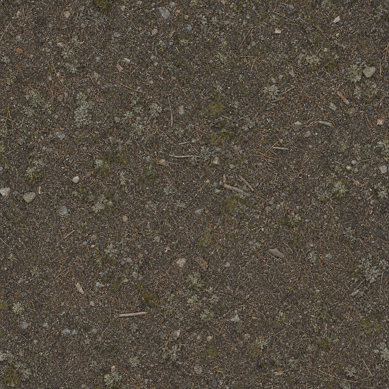
Ground material intended to tie forest cover to believable surface ecology.
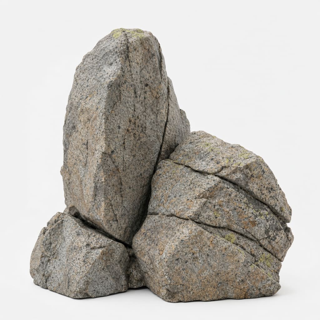
More credible silhouette and surface variation than stock geometry.
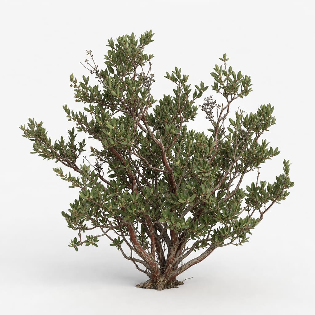
A needed understory family for ecological variety.
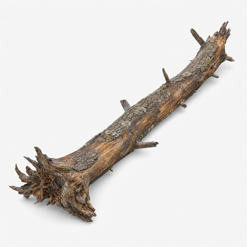
Near-field breakup that also signals age, disturbance, and habitat.
This app does not currently have a conventional automated unit-test suite. Its strongest tests are executable evidence loops: compile, build, render, inspect budgets, capture alternate views, measure image properties, append the ledger, and then run the calibrated visual judge. The distinction matters: a green build proves the pipeline ran; it does not prove the image is good.
TypeScript typecheck + Vite build for the web arm; Unity batch-mode scene generation for Forge Valley.
Reject missing assets, invalid captures, triangle overruns, broken navigation views, and failed render output.
Record triangles, stems, ground detail, dynamic range, highlight band, temperature separation, and tiling peaks.
Score the render with the fixed visual rubric. For Forge Valley, the weakest of four views controls the outcome.
Forge Valley has twice improved every recorded metric while making the image visibly worse. The image still has to pass human review and the calibrated visual judge.
| Evidence | What it proves | What it does not prove |
|---|---|---|
| Successful build | The code compiled and the pipeline completed. | Photorealism or navigability. |
| Metric improvement | A measurable image property moved. | The image looks better overall. |
| Hero score | One composition improved. | The world holds up when explored. |
| Four-view judge | The scene survived multiple cameras. | A production 90; the rubric itself caps normal real-time work near 85. |
The closed loop works and the project has a real body of evidence. The scene is not photoreal yet. The last completed judge run is iteration 83: 37 hero and 30 weakest navigable view. Iterations 91–95 built and measured but were never judged, so they cannot be claimed as improvements.
| Priority | Known visual blocker | Why it matters |
|---|---|---|
| 1 | Creek reads as a painted ribbon | Water has scored 1–2/10 and the authored path cuts through terrain instead of following hydrology. |
| 2 | Foreground cobble normal map is at the wrong scale | It makes the ground read synthetic immediately. |
| 3 | Vegetation is effectively a monoculture | One repeated silhouette depresses ecology, production-model, and detail scores together. |
| 4 | Shadow crush in navigable views | The fly-through holds roughly 12% near-black pixels against 1.7% in the reference. |
| 5 | Erosion leaves no depositional record | Channels exist, but alluvial fans and sediment behavior do not. |
“Cannot leave the Built-in Render Pipeline” had been inherited through handoffs as fact. URP was already installed locally. Rechecking that assumption reopened roughly twenty points of ceiling that had been blocked for about thirty iterations.